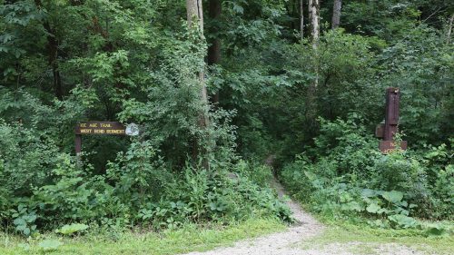
Ice Age National Scenic Trail
The 1,200-mile Ice Age National Scenic Trail passes through the heart of West Bend. The trail is one of the nation’s great footpaths, tracing the route of the last glacier in Wisconsin. The trail was established by an act of Congress and protects a vast swath of land for public use. It’s primarily a Hiking, Walking & Running path, and trail users can see various glacial features, including kettles, potholes, eskers and more.
You can see some interesting land formations as you hike along the route through West Bend’s Ridge Run Park and Glacial Blue Hills Recreation Area. North of West Bend, the trail will take you through the Northern Unit of the Kettle Moraine State Forest. Continuing north, the trail will eventually take you to Door County; head south and the trail will take you to Janesville, before bending to northwestern Wisconsin.
There are plenty of places to park near the trail in West Bend—see a map of West Bend’s trail segment here.
Categories
Hiking, Walking & Running, Natural Areas, Outdoor Attractions
Contact
Facebook: facebook.com/iceagetrail
Instagram: instagram.com/iceagetrailorg
Twitter: twitter.com/iceagetrailorg